The Spire Has Opinions: A Church Survey Guide for UK Drone Pilots
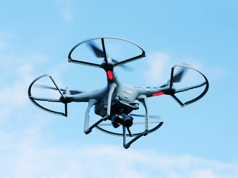
Photo: drone surveying historic English church spire close up, via media.wired.com
A village church looks like a straightforward subject from the road: one tower, one roof, a few gutters and a helpful bit of open churchyard to launch from. Then you get close and the drone starts sulking. Home point drifts, the compass throws a wobbly, GPS bars flicker and the spire somehow sits exactly where you wanted to fly. Churches are brilliant subjects and terrible neighbours for consumer flight controllers.
That does not mean you should avoid them. It means you should treat a church survey as a permission job first, a flying job second and an evidence job third. The imagery is only useful if the people who care for the building trust how you got it.
The paperwork comes before the propellers
For Church of England buildings, the key phrase is faculty jurisdiction. Churches are generally exempt from the ordinary listed building consent process, but that does not mean anything goes. Works and changes are controlled through the diocese, usually with advice from the Diocesan Advisory Committee and involvement from the incumbent, churchwardens and PCC. A drone survey is not necessarily a faculty application in itself, but it is absolutely a conversation you need to have before you turn up with a case and a landing mat.
Ask early. Explain what you want to capture, where you intend to stand, how long you need and what you will do with the images. If the church is in a conservation area, near a scheduled monument or part of a larger heritage estate, expect additional layers: local authority conservation officers, Historic England or the equivalent devolved heritage body, and possibly scheduled monument consent. Ruined churches, follies and non-Anglican places of worship each have their own permission routes. Do not assume a public footpath gives you a launch site. It gives you a right to walk, not a right to operate from someone's land.
You also need the ordinary commercial basics in place: CAA operator ID and flyer ID as required, the right competency for the flight, and insurance that actually covers commercial survey work. In 2026 the technology is easier than ever; the permissions are still the bit that catches people out.
CAA reality check near stonework
UK Open Category flying can cover a lot of commercial church survey work, but you need to match the subcategory to the site. A2 gives you closer operation with the right certificate and C2-class aircraft, but you are still keeping your distance from uninvolved people. Churchyards are public places. A quiet Tuesday morning can turn into a funeral, a school visit or a group of volunteers clearing graves. A3 keeps you away from people and built-up areas, which is often the more realistic starting point for a first visit.
If the job genuinely needs closer proximity, overflight of the roof or work in a busy setting, look hard at whether you need Specific Category authorisation. Do not let a client's hopeful email push you into a flight your category does not support.
Near buildings, permission and safety matter more than a blanket distance rule. You still need to avoid uninvolved people, keep visual line of sight and have a plan for a fly-away. Check airspace before every visit: NATS Drone Assist, local NOTAMs, flight restriction zones and any temporary activity. Churches are often near airfields, prisons, hospitals or military training areas. A spire is not an excuse to skip the airspace check.
Why the spire fights back
Stone towers, lead roofs, bells, lightning conductors and ferrous fixings are a gift to compass errors. GPS multipath around a tall building can make the aircraft think it is somewhere it is not. Return-to-home is only as good as the home point and the satellite lock, so do not rely on it as your primary plan six feet from a fourteenth-century window.
This is where manual flying earns its keep. Practise slow, deliberate control close to a large vertical object before you do it for a client. Use a second observer if you can. Set a home point well away from metal and obvious interference, and be ready to switch out of automated modes if the aircraft starts behaving oddly. Prop guards are sensible when working tight to stonework, and a subdued approach with short, planned arcs beats a heroic single take.
Also think about wildlife. Churches are bat hotels. The Wildlife and Countryside Act 1981 is not a footnote, and roof spaces, crevices and tower interiors can be sensitive. If the survey is likely to disturb roosting bats or nesting birds, take advice before you fly. Conservation officers will ask.
A flight plan that respects the building
Walk the site before you unpack. Look for loose masonry, slipped tiles, broken glass, memorials, overhead cables and the places where people actually walk. Brief the churchwarden or site contact. Put up a small sign or use a steward if the churchyard is open. Keep spectators out of the launch and landing area without being theatrical about it.
For the capture itself, mix context with detail. Start with wide obliques that show the building in its setting. Then work around the tower and roof in controlled arcs. For roof evidence, a nadir grid is useful, but close obliques often tell a conservation officer more about a gutter, a lead seam or a patch of eroded stone. Bracket exposures for dark porches and bright skies. Keep the sun behind you where possible, avoid shooting into deep shadow, and do not confuse a dramatic image with a useful one.
If you are producing a scaled orthomosaic, put ground control points in the churchyard and record their positions properly. If you are not, say so. A pretty 3D model with no scale is not a survey; it is a visualisation.
Images conservation officers will actually open
Nobody wants 400 unnamed JPEGs. Deliver a short, indexed set: an annotated site plan, a contact sheet, a handful of wide context shots, close-ups of the defects or features in question, and a simple image key. Include date, time, aircraft, pilot, flight area and any limitations. If you have a flight log, include the summary.
Write plainly. 'Visual observation only' is a useful phrase. Describe what you can see, not what you think it means structurally. A stained patch under a gutter is evidence of staining; it is not a diagnosis of failed flashing. Conservation officers tend to appreciate plain description, because they have to weigh it against fabric history and repair records. Insurers want the same discipline: clear evidence, clear metadata and no overclaiming.
Insurance bits that bite
Check your policy for the words that matter: commercial survey, inspection of structures, close proximity to buildings, public liability and third-party property damage. Some policies are fine with general drone work but get twitchy about flying near historic fabric. If the client's insurer is paying, confirm they will accept drone imagery as part of the evidence pack. Some still want rope access or a closer physical inspection, and that is their call.
Get landowner and site permission in writing. Keep your flight logs and image sets tidy. If something does go wrong, the paperwork you did before the flight will matter more than the footage you captured.
Treat a church as three things at once: a client, a neighbour and a historic record. Fly slowly, ask first and hand over evidence that someone can actually use. The spire may still have opinions, but at least the paperwork will be on your side.