Static, Spoofing and the Home Arrow: Flying When Your Drone Stops Trusting Satellites
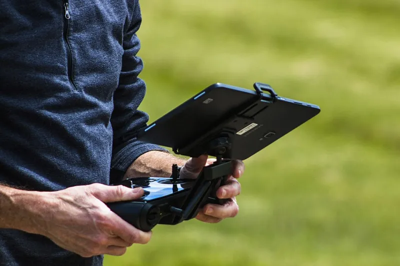
Photo: BLM Oregon & Washington, Public domain, via Wikimedia Commons
Most flights are boringly well behaved. You power up, wait for the tick list to fill in, and the little satellite counter does its thing. Then one afternoon, near a substation on the edge of an industrial estate, the drone starts sliding sideways with no input from you and the map view puts you about forty metres east of where your boots actually are. Nothing is broken. Something is just lying to your aircraft.
That's GNSS interference in a nutshell, and while the UK isn't the worst place in the world for it, it's far from a non-issue. If you fly commercially — or just fly a lot — it's worth knowing what it looks like, how to plan around the known offenders, and what a decent record of the event looks like when you sit down afterwards.
What interference actually feels like
Broadly you'll meet three flavours.
Jamming is brute force. A strong signal on the GNSS bands drowns out the weak satellite signals, so your receiver simply loses lock. Satellite count tumbles, the position fix goes from 3D to 2D to nothing, and the aircraft announces it's switching to attitude mode or vision positioning. Near the ground, that often looks like nothing at all. Two hundred feet up with wind, it looks like work.
Spoofing is the nastier one. Fake signals are broadcast and the receiver believes them, so you get a position that's confidently wrong rather than absent. Symptoms include a home point that appears to shift, a drone that 'knows' where it is but the map tells a different story, or a sudden jump of hundreds of metres. Deliberate spoofing is uncommon over Britain, but the technique isn't exotic any more and it has been recorded repeatedly in parts of Europe and the Middle East.
Multipath and local noise is the boring, everyday version. Big metal structures, hangars, port cranes, wind turbines and even dense tree cover bounce signals about. Compass readings swing, the aircraft nudges when it shouldn't, and the heading indicator develops opinions.
A quick tell: if the compass error warning and the position drift arrive together, suspect the environment. If only the compass misbehaves right after take-off from a new spot, you may simply have launched from a steel plate without knowing it.
The UK map of suspects
You don't need a classified overlay to know where to be careful. The usual cast includes:
- Military training areas and ranges — Salisbury Plain, the Stanford and Donna Nook ranges, the Scottish training estates and the airspace around them. Live firing and electronic warfare exercises are notified by NOTAM, and the paperwork is there for a reason.
- Ports and major terminals — Felixstowe, Southampton, the Humber, Liverpool. Cranes, radar and a lot of steel.
- Electrical infrastructure — substations, converter stations and the big offshore wind landing points.
- Communications sites — tall masts, microwave links and hilltop transmitter clusters.
- Prisons and secure sites — where counter-drone technology is deployed legally and, by design, doesn't care about your flight plan.
- Airports and their approach paths — not because of GNSS specifically, but because everything about that airspace expects you to have done your homework.
None of this means 'never fly here'. It means plan the flight as though the satellite fix might be a fair-weather friend, and have an answer ready when it isn't.
Pre-flight: build the check into your routine
Before the kit comes out of the car, do three things in this order.
- NOTAM and airspace brief. Use the CAA's briefing service or a reputable planner such as SkyDemon or Drone Assist. Read the NOTAMs, not just the red shapes on the map — a line of text about a jamming exercise is exactly the kind of thing you don't want to find out about from your aircraft.
- Look at the ground, not just the map. Are you inside a compound of steel? Under a transmitter? Fifty metres from a substation fence? Move the launch point. A hundred metres of separation often fixes more than any firmware setting.
- Write the abort plan down. Decide, before take-off, what your trigger is. Mine is simple: two position anomalies in thirty seconds, or any loss of satellite lock above 30m, and the flight comes home or lands immediately. Having it written means you're not negotiating with yourself while the aircraft drifts towards a hedge.
Also worth doing: confirm the aircraft's behaviour in attitude mode before you need it. A ten-minute practice session in a big empty field, well away from anything, teaches you more than any manual.
In the air: the decision tree
When the numbers go strange, resist the urge to fight the sticks. In rough order:
- Freeze the input. Let go. If the aircraft stops drifting, it was probably you and a lagging map. If it keeps moving, it's the environment.
- Drop the height if it's safe. Lower altitude means better vision positioning, less wind, and less distance to fall if things get ugly. It also puts you back in range of a clean landing spot.
- Switch modes deliberately. Attitude mode removes the GPS crutch and hands you full authority. That's good if you can fly it; disastrous if you can't. Manual is the last resort, not the first.
- Distrust the home arrow. If the home point may be wrong, return-to-home is a flight to nowhere. Land manually, close by, in a spot you chose with your eyes rather than a coordinate.
- Talk to someone if it matters. If you're near an aerodrome or in controlled airspace and you lose navigation confidence, a phone call to the relevant unit early is always better than an awkward conversation later.
One thing worth drilling into your head: return-to-home normally climbs to its configured altitude first. If the position is nonsense, that climb is happening in the wrong place. The RTH button is a convenience, not a rescue.
Recording it properly
If you think you've been interfered with, capture everything before you pack up.
- Screen recording from the controller for the whole flight — many apps support it natively, and it costs nothing.
- Export the flight log from the app the same day, while the aircraft still has it cached. Note the file name against your job sheet.
- Photograph the launch site including anything that might explain it: the mast, the substation, the crane, the fence-line.
- Write a short factual note the same evening: time, location, altitude, satellite count at the point things changed, what the aircraft did, what you did, and how it ended. Two paragraphs is plenty. Don't speculate in the note; describe.
That record is worth more than you think. It's what turns an anecdote into a defensible account, and it's what the manufacturer's support team will ask for anyway.
Reporting: who needs to know
If the event was a genuine safety issue — loss of control, an unexpected descent, an unplanned landing in a public place — it belongs in the CAA's occurrence reporting process. The scheme exists so that patterns get spotted, not so that pilots get told off. Manufacturers want the logs too, and the good ones act on them.
If you believe the interference was deliberate, or you've seen a pattern of it in a location, tell the police on 101 and keep your reference number with the logs. If it happened near an aerodrome, the air traffic unit will want to hear about it while it's still fresh, not a week later.
And if the interference was your own fault — a launch from the roof of a steel container — be honest about that in your notes. The next pilot reading your site survey will thank you.
The short version
Assume the fix might be wrong, plan for the ground you're standing on, know your abort trigger before the props turn, and keep the evidence. Interference is rare enough that you'll probably go years without meeting it properly — but the pilots who handle it well are the ones who decided what to do long before the dots started walking.